Earlier this week, GWLAP held a workshop on how to use nrmFARM as a property management tool. Tony Randall presented the workshop and the small group that attended received one-on-one help on how to get the most out of the system.
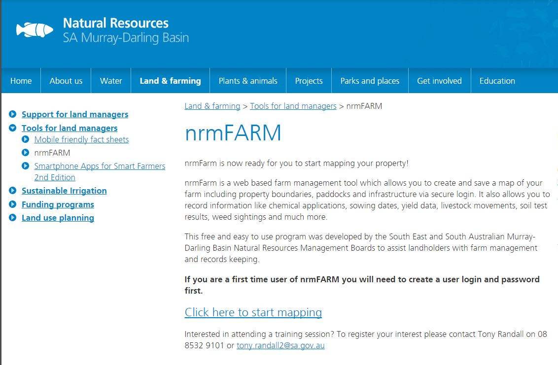
nrmFARM is a tool made available by Natural Resources, SA Murray-Darling Basin via their website. It allows you to make a map of your property, include fencelines and features and also record information like chemical applications, sowing dates, yield data, livestock movements, soil test results, weed sightings and much more.
The tool includes aerial imagery, and map layers such as cadastre, soils, vegetation and more. It works like GIS programs and other online tools such as Naturemaps – but is designed specifically for recording on-farm assets and activities.
The nrmFARM tool is a great first step for property owners considering the purchase of a comptuer based mapping/management tool for their property but want to see if this type of sytstem will work for them. It is also very suitable for the owners of smaller properties who don’t need all of the features of commercially available products.
At the workshop, Tony showed us the basic features of nrmFARM including how to use the search and and record keeping functions, how to add and amend features and explained how the flexible nature of the program can be adapted to different farm management styles and enterprises.
At the end of the workshop, with Tony’s instruction and our own playing around we all found something about the program to meet our needs. As with everything, the more you practice, the easier it becomes.
For more information about nrmFARM call Jacqui 8536 5617 or Tony Randall 8532 9100.
The workshop was supported by the SA Murray-Darling Basin Natural Resources Management Board through funding from the Australian Government’s National Landcare Programme and the NRM levy.
![]()