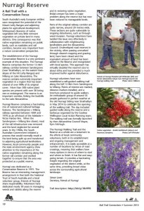
Nurragi Reserve was featured in the Summer edition of Rail Trails Australia magazine ‘Rail Trail Connections’ – a national publication featuring railway trail networks around the country and internationally.
The full edition can be found on their website www.railtrails.org.au.
Nurragi Reserve is a wonderful place for short and long walks. Walker’s Guides are available at the Strathalbyn Natural Resource Centre, and provide information on the habitat and species along the trail.

Nurragi Reserve – A Rail Trail with a Conservation Focus
South Australia’s early European settlers soon recognised the potential of the Mount Lofty Ranges and adjoining plains for agricultural development. Widespread clearance of native vegetation left very little remnant vegetation on private land in many districts. One consequence was that native vegetation remaining on public lands, such as roadsides and rail corridors, became very important from a nature conservation perspective.
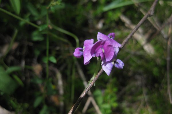
The establishment of the Nurragi Conservation Reserve is a very pertinent example of this situation. The Nurragi Reserve comprises the former 12.4km railway corridor between Sandergrove (near Strathalbyn, on the eastern footslopes of the Mt Lofty Ranges) and Milang on Lake Alexandrina. The reserve contains extremely important vegetation in a region that has been cleared of over 98% of its original cover. More than 300 native plant species are present with over 50 being rare or endangered. The reserve is an important corridor, linking the foothills to the Lake Alexandrina.
Nurragi Reserve comprises a fascinating mix of natural and cultural heritage features. The Sandergrove – Milang railway operated between 1884 and 1970 as an off-shoot of the Adelaide – Victor Harbor line. When the Sandergrove – Milang line closed, most of the rail infrastructure was removed and the land neglected for several years. In the 1980s, the South Australian Government initiated a process that would normally result in the land being split up and transferred to adjoining agricultural landholders. However, local community people and the state environment agency drew attention to the importance of the native vegetation remaining along the former rail corridor and worked together to ensure that the area was protected as a public reserve.
Nurragi was dedicated as a Conservation Reserve in 1991. The Reserve has an interesting management arrangement in that both the National Trust of South Australia and a local volunteer group, Friends of Nurragi share responsibility. Volunteers have dedicated nearly 30 years in managing weeds and rabbits along the reserve and in restoring native vegetation. Bridal creeper has been a major problem along the reserve but has now been reduced to manageable levels.
Parts of the original railway corridor are quite narrow, around 20 metres wide. These sections are quite vulnerable to ongoing disturbance, such as through weed invasion. Nurragi volunteers have tackled this issue very effectively in collaboration with neighbouring landholders and the Alexandrina Council. Undeveloped road reserves in the vicinity, often passing unmarked through cleared cropping and grazing land, have been closed and the equivalent amount of land has been added to the Reserve and revegetated with local species. This approach has virtually doubled the reserve’s size to about 65ha and has provided a much improved buffer against disturbance.
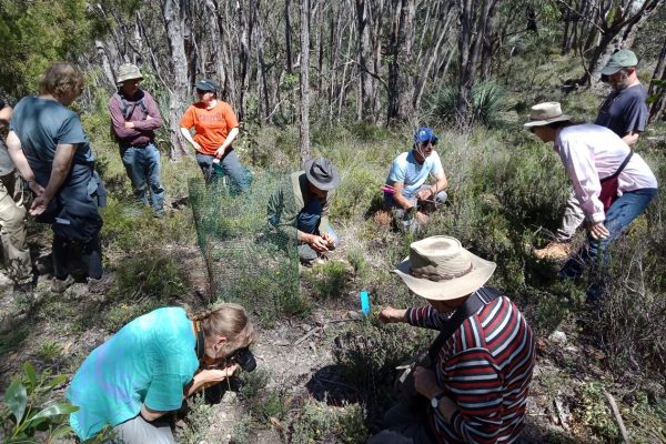
Nurragi volunteers have now established a self-guided walking trail along the full 12.4km from Sandergrove to Milang. Points of interest are marked, distance markers installed, and a brochure produced to guide walkers. An enthusiastic group of around 35 people gathered in perfect weather at the old Nurragi Siding near Strathalbyn in May 2014 to celebrate the opening of the walking trail. The day included guided walks along the reserve and a barbecue organised by the Goolwa Wellington Local Action Planning team. The walking trail was formally launched by then Alexandrina Council Mayor, Kym McHugh.
The Nurragi Walking Trail and the Reserve as a whole are a testament to the efforts of local community volunteers, both in its establishment and ongoing management and enhancement. It is easily accessible at a number of locations by virtue of road crossings, meaning that walkers have many options in terms of where to start and where to finish. It has flat and easygoing terrain. It provides a fascinating insight regarding the original vegetation of the district while, at the same time, providing broad vistas across the surrounding agricultural landscape.
Simon Lewis
Secretary, Friends of Nurragi


